GEOSPATIAL · GIS · GNSS · SMART CITIES · Signal 0434 · OCTOBER 27, 2026
Heat mapping and vehicle-mounted tree sensors offer new tools for city maintenance
10 Sec Scan
Researchers have tested satellite-based routing to avoid hot streets and vehicle-mounted sensors to assess tree stress, offering city agencies potential tools for targeting shade investments and monitoring urban trees more frequently.
What Changed
CoCo has demonstrated cooler route selection in Brooklyn simulations and is configured for five cities. Greenery Scanner has undergone testing against arborist inspections and drone surveys, with combined vehicle and drone data reducing false alarms.
The Signal
City agencies could use street-level heat information to prioritise tree planting, shade structures and cool pavements, including along school walking routes. Vehicle-based tree sensing could support more frequent inspections without dedicated survey trips, although routine operational benefits remain unproven.
60 Sec Understand
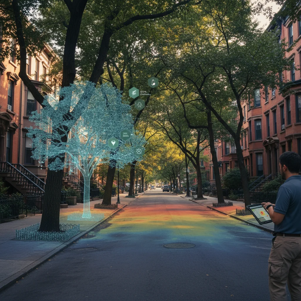
Two research projects offer city agencies different ways to assess urban heat and tree health without building dedicated sensor networks. CoCo: Heat Minimizer uses public satellite data to identify cooler walking routes. In simulations of 1,000 Brooklyn trips, the coolest routes averaged 27.6°C in surface temperature, versus 29.9°C for the shortest routes. Researchers have also mapped heat exposure along routes serving 581 Brooklyn schools. Separately, MIT’s Greenery Scanner uses vehicle-mounted multispectral sensors to detect tree stress. Testing covered 84 trees in Boston, Cambridge and Rome; combining vehicle and drone observations reduced false alarms. For municipalities, the potential is more targeted shade and pavement investment, alongside tree monitoring using vehicles already travelling city streets. Evidence remains preliminary: CoCo’s reported routing results are simulated, its pilots are under discussion, and the tree study is limited in scale. Neither result establishes citywide operational performance.
The Evidence
Evidence supplied by Cities Today.
Signal Strength
Evidence Strength
MODERATE
Technologies
Companies
Places
Sources
Cities Today
Original SourceRelated Signals